InfrastructureDG was contracted by Montana-Dakota Utilities Company (MDU) to complete a full cadastral retracement survey for a proposed 115kV transmission line corridor. The new transmission line encompassed approximately 45 linear miles from Leola, SD to Ellendale, ND.
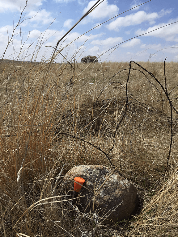
InfrastructureDG completed research for original government survey notes and plats. Boundary survey was completed for all section and quarter section corners along the route using computed locations from the record documents. All lost and damaged corners were re-established with the project.
InfrastructureDG worked closely with the landowners and real estate agents during the right of way acquisition process by providing legal survey exhibits and preparation of legal descriptions.
InfrastructureDG also completed the construction staking for the access routes and structure locations for this project.